


WingtraRAY
The survey drone built for faster results and total confidence in the field
Get your survey data faster
The WingtraRay mapping drone’s unique set of features empowers you to minimize your time flying and get more work done, be it another project in the field or analyzing your data at the office.
Efficient fixed-wing flight
WingtraRAY flies at up to 22 m/s, so you can cover small or large areas faster.
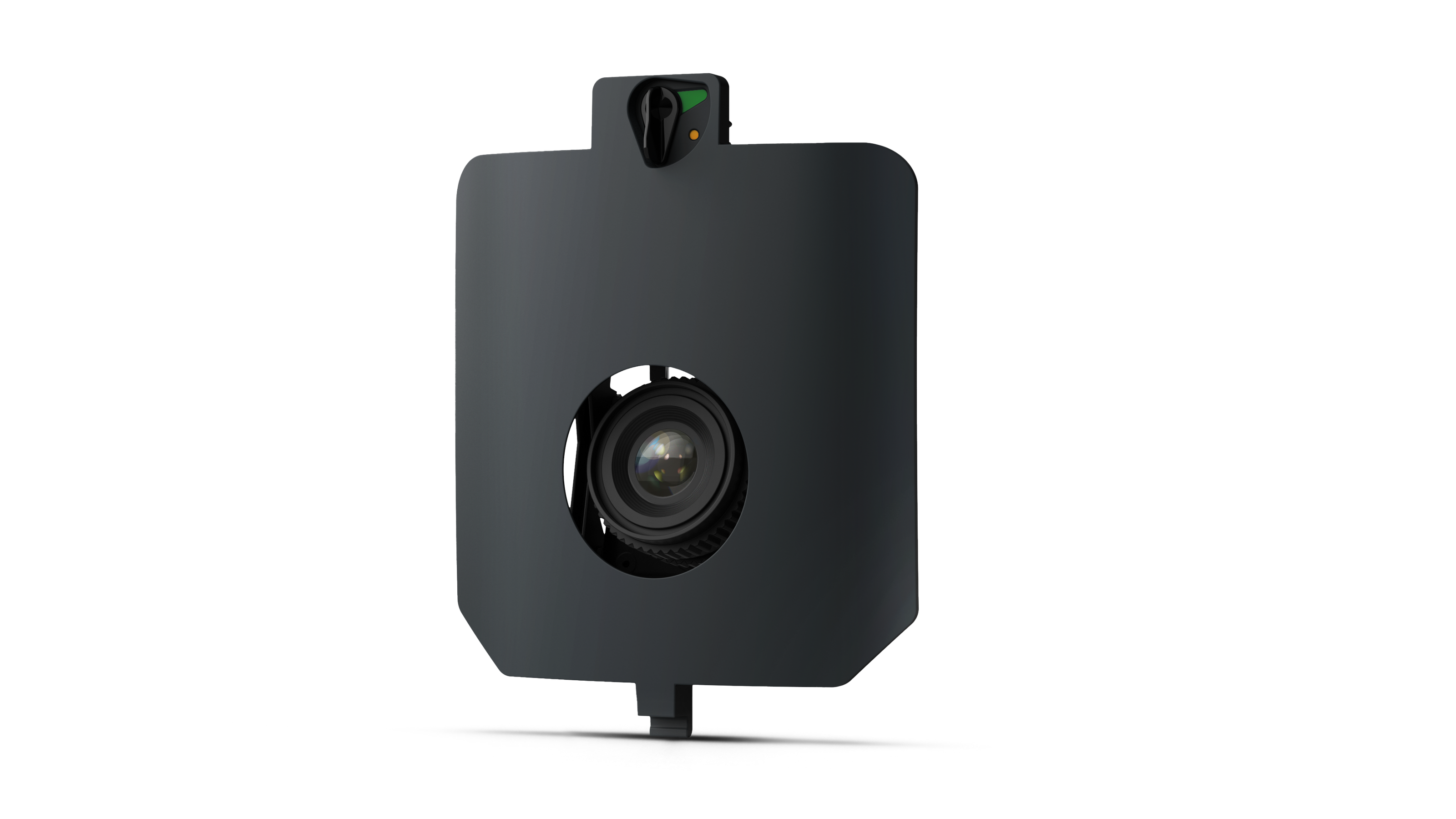
61 MP camera
WingtraRAY can fly higher than drones limited to 20 MP cameras, so you capture more ground and more detail with every picture and a larger area per flight.
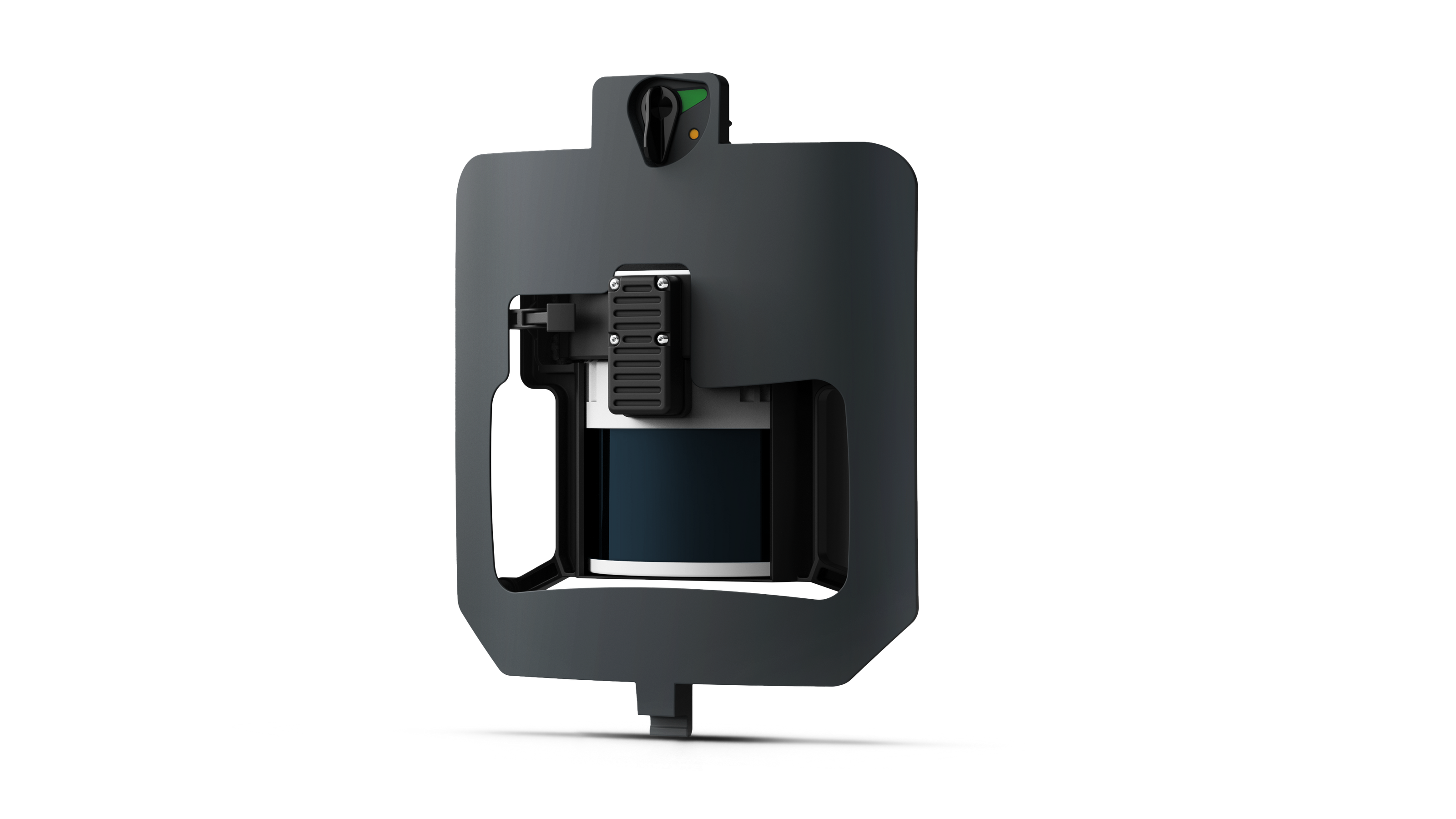
No more GCPs, checkpoints only
With an onboard high-precision PPK GNSS receiver you no longer need to lay out ground control points (GCPs). Use as few as three checkpoints to verify your map quality.
Lower image overlaps
High quality optics means you can reconstruct your map reliably even with lower overlaps. This means more new ground covered per flight line and maximum coverage per flight.